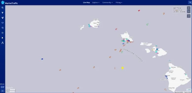

The Papahānaumokuākea Marine National Monument (PMNM) is located in the Northwestern Hawaiian Islands in the central North Pacific roughly 3,000 miles from the nearest continental land mass.
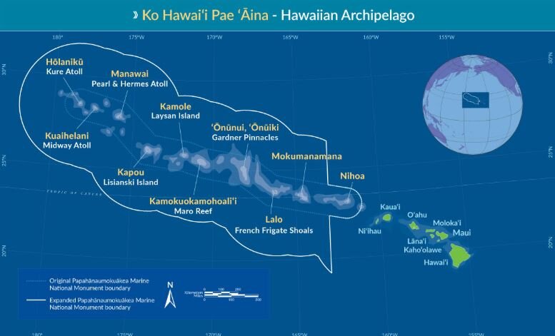
Map of PMNM
The PMNM is one of the largest fully protected conservation areas in the world. It encompasses 582,578 square miles (1,508,870 square kilometers) of the Pacific Ocean – an area nearly the size of the Gulf of Mexico!
The Monument, created expressly to protect an exceptional array of natural and cultural resources, was originally established on June 15, 2006 and expanded on August 26, 2016, both times under the authority of the Antiquities Act. It was inscribed as the nation’s first natural and cultural World Heritage Site in 2010.
This isolation has led to the evolution of many unique plants and animals. A significant amount of species within the Monument are endemic to Hawai‘i, found nowhere else on Earth. This area is also rich in ancient cultural sites and historic shipwrecks and landmarks.
Middle Bank is located between the islands of Niʿihau and Nihoa and straddles the boundary of the Monument. It is approximately 5-7 million years old, geologically, and one of several banks in the Monument that was created by volcanic activity and eventually subsided to the ocean. Middle Bank supports deep sea coral communities and bottomfish. The portions of Middle Bank outside of the boundary are occasionally fished for bottomfish.
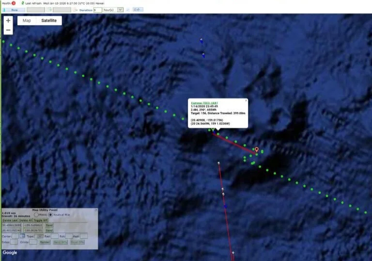
Jan 21, 2020 - Europa navigating around Middle Bank
On Jan. 21st, we piloted Europa around the outer edge of Middle Bank along the 200’ depth contour and heard some great humpback whale chorusing. Take a listen below.