Ocean Science

For Immediate Release:

Ed Lyman-HIHWNMS-NOAA Fisheries Permit #782-1719 (Original image has been altered to include Wave Glider) - Copy1.png


Autonomous (Robotic) Wave Glider Mission from Hawaii to Mexico Detects Humpback Whale Calls in Tropical Mid-Ocean and Questions Definition of Winter Breeding Assemblies 

Current NMFS humpback whale management policies assume Mexico and Hawaii winter assemblies are distinct with separate status and management warranted


BIG ISLAND, HAWAII July 1, 2019 – Jupiter Research Foundation and Whale Trust are pleased to announce the publication of the results of the first leg of their autonomous Wave Glider HUMPACS (Humpback Pacific Survey) acoustic survey in Journal of the Acoustic Society of America – Express Letters. During a 100-day nearly 7,000 km (3,800 nm) round trip survey on a line between Hawaii and Mexico within the 2018 winter breeding season, humpback whale calls were heard in mid-ocean basin, halfway between the known near-shore assemblies. 

“They’re not ‘supposed’ to be there,” says Dr. Jim Darling, Whale Trust biologist and project partner. Humpbacks are known to assemble in specific near-shore, relatively shallow, breeding grounds in Mexico and Hawaii. “But then no one has looked in these more remote, offshore areas either.”

Mission control was from Puako, Hawaii where Beth Goodwin, Jupiter Research Foundation VP and HUMPACS Project Manager, and her team were in daily communication with the Wave Glider: monitoring status, downloading surface and underwater photographs, downloading short samples of recordings via satellite, and making course alterations if needed. 

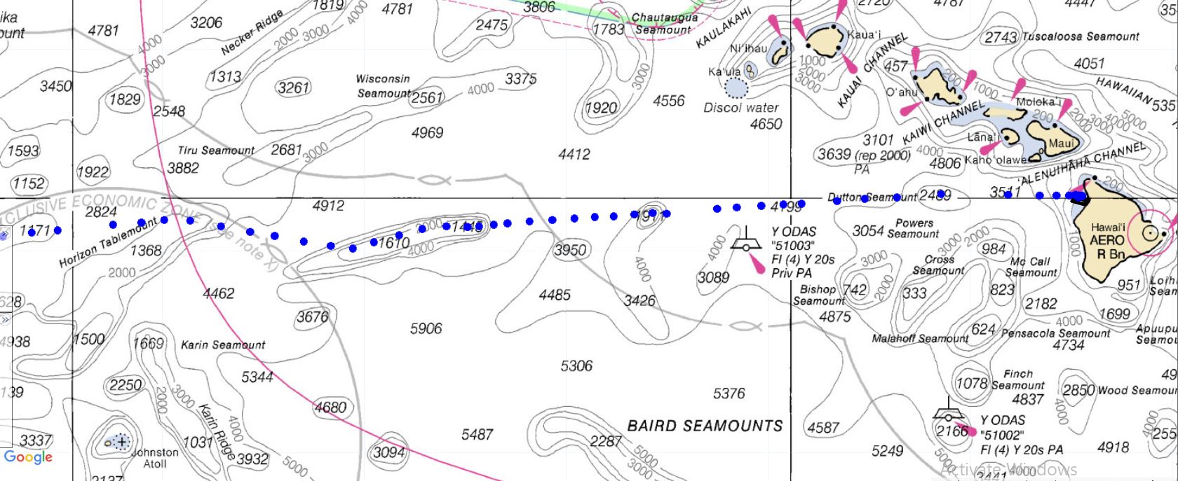
From January 16 to April 25, 2018, the Wave Glider, named Europa (after one of Jupiter’s moons), performed a 6,965.5 km, 100-day (RT) continual acoustic survey from Hawaii towards Mexico circa 20° N. The survey resulted in 2,272 hours of recordings and included over 4,000 cetacean calls.  Of these calls, 2,048 were identified as humpback whale calls.

The humpback calls were recorded up to 2,184 km (1179 nm) offshore spanning 30 days between January 20, when the Wave Glider left Hawaii, to February 23, 2018. On many days, multiple humpback call detections were recorded (up to 377 calls over 23 hours of a day). Actual numbers of whales cannot be determined, as one whale can make many calls.

“This was risky, we had no idea if humpbacks were even out there,” says Goodwin. “And then, even if they were, there were needle-in-haystack odds of intersecting them considering the size of the Wave Glider and the size of the ocean.”

Possible explanations, suggests Darling, include an undocumented migration route to Hawaii, a separate (from Hawaii and Mexico) offshore assembly of humpback whales, or travel between Mexico and Hawaii assemblies within the same season. At the very least, these results indicate an extension of winter distribution and habitat of humpbacks. It could also be that these offshore whales have not been included in current population estimates.

Since 2016, the model used by the U.S. National Marine Fisheries Service (NMFS) to manage humpback whale populations has treated the Mexico and Hawaii winter assemblies of humpback whales as distinct populations. As such, these populations have different status under the U.S. Endangered Species Act (ESA): Mexico humpback whales are considered threatened while Hawaii humpback whales have been delisted; that is, the Hawaii population has no protection under the ESA.

This assessment is further complicated by longstanding research showing shared song between the breeding assemblies and an interchange of photo-identified individual whales between these two winter breeding grounds.

Our findings question the independence of Mexico and Hawaii humpback whale populations and illustrate the huge potential for the use of autonomous vehicles in the study of whales across remote locations of the ocean.

“We feel certain our results will encourage more research, affect how humpback and other whales are monitored, and help with management,” says Goodwin.

The paper is online: https://doi.org/10.1121/1.5111970


BACKGROUND


Wave Glider

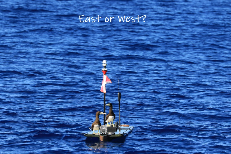
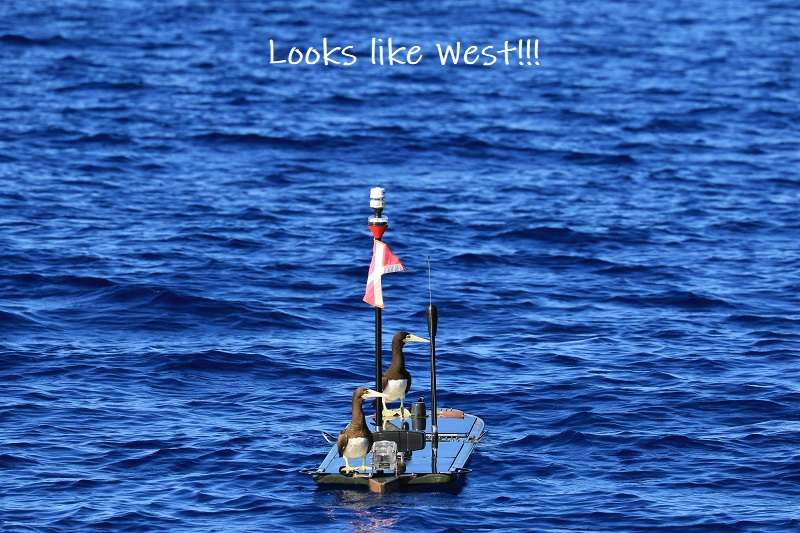
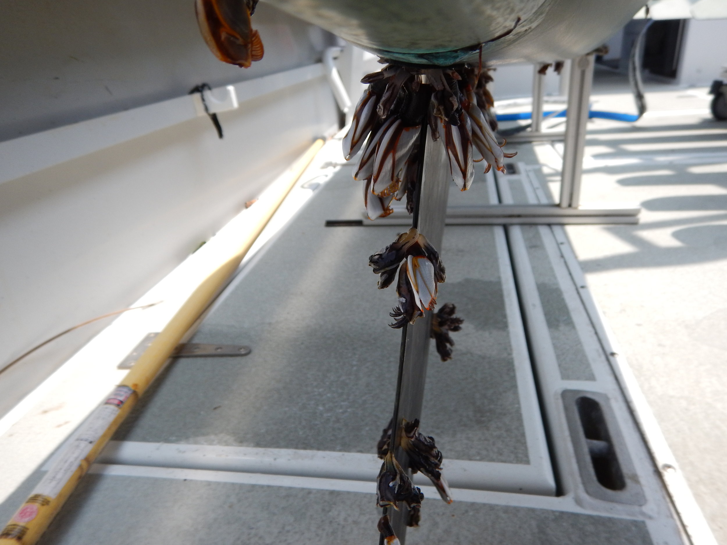
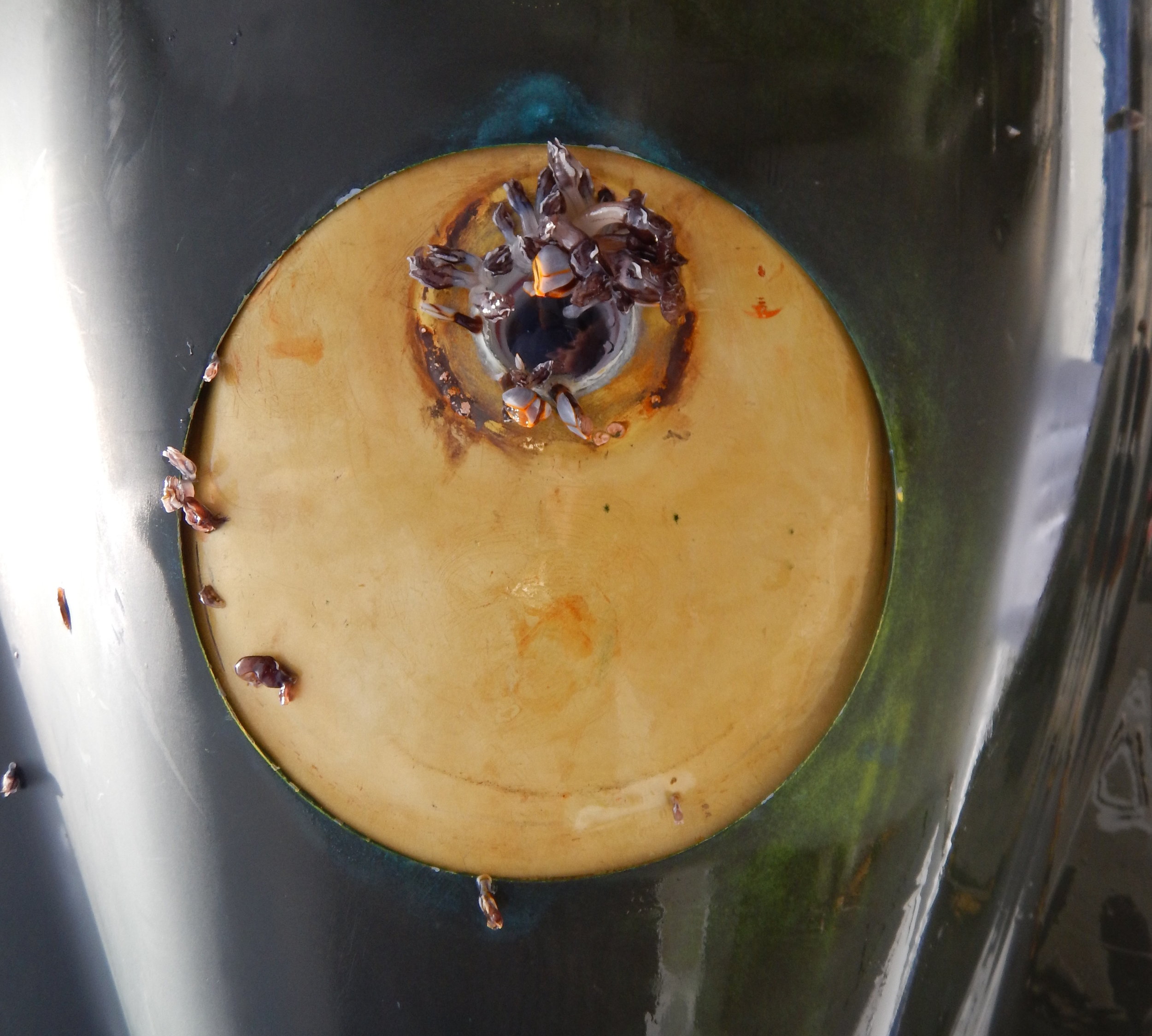
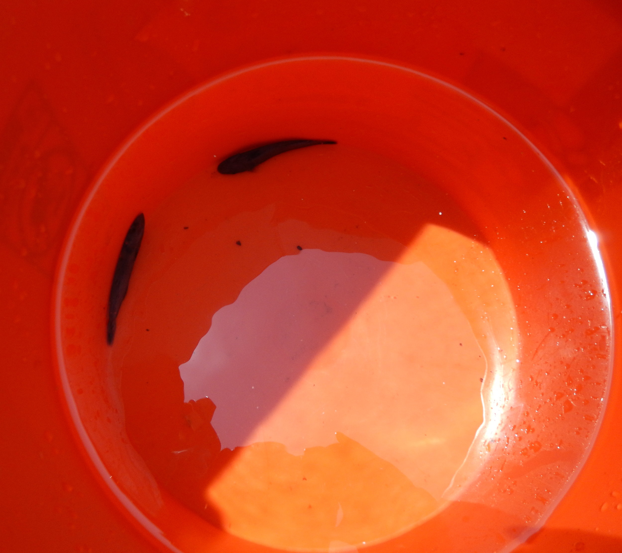
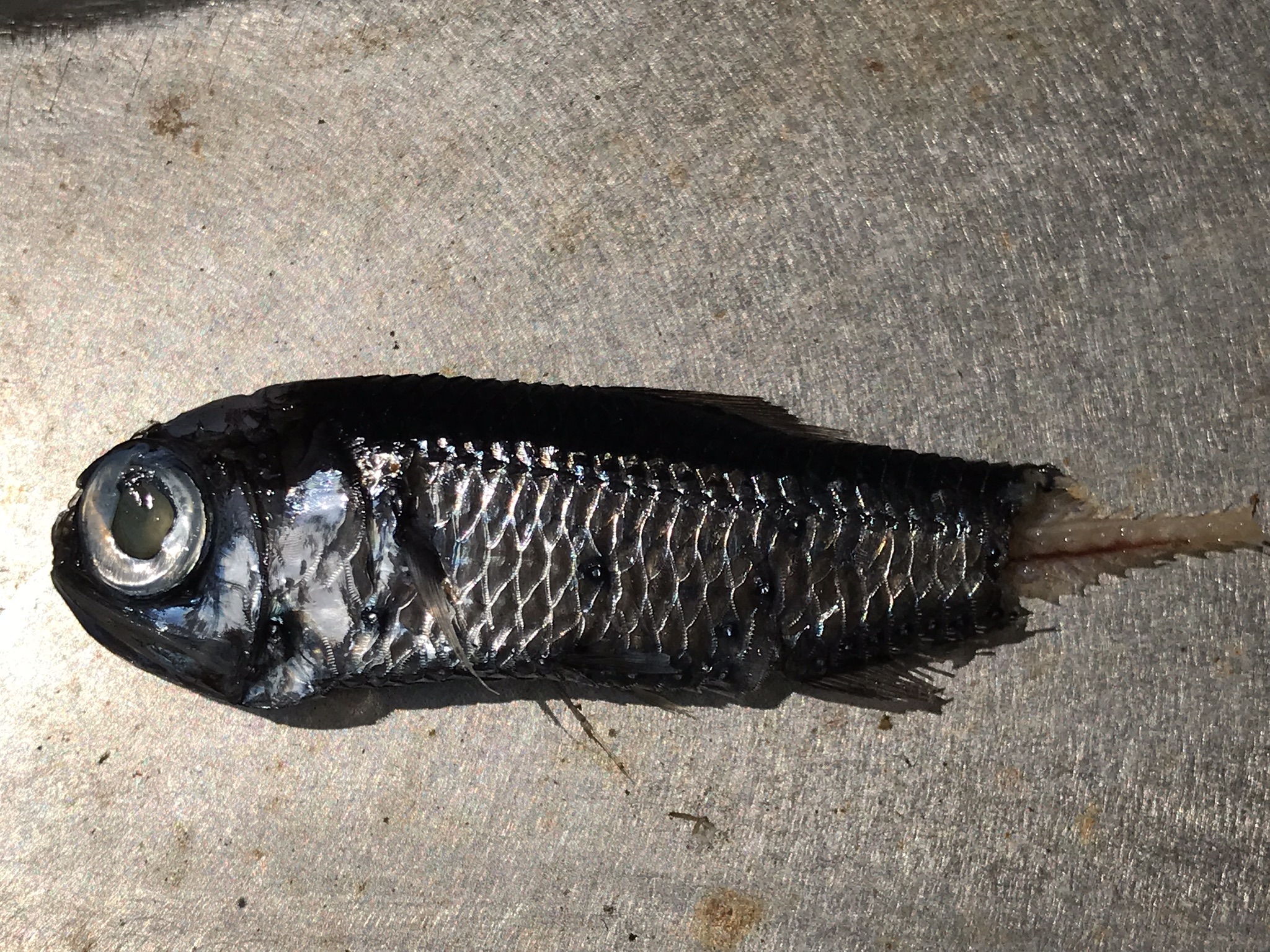
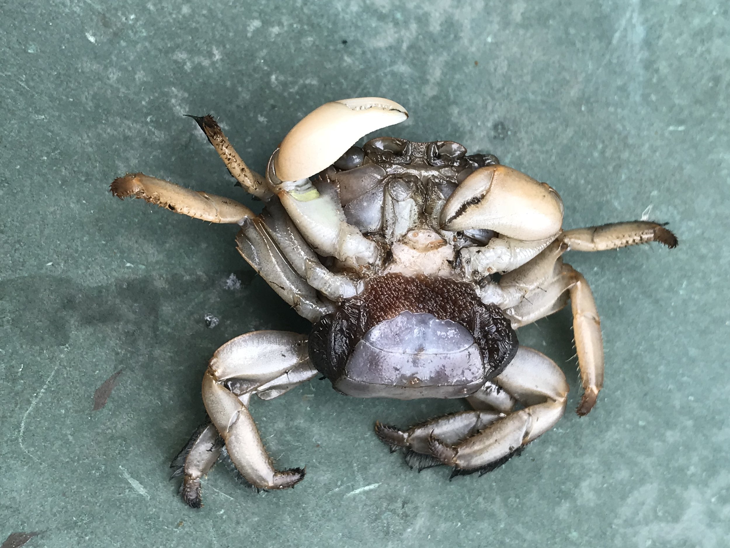
The Wave Glider (produced by Liquid Robotics, a Boeing Company) consists of a surfboard-sized surface platform (the float) tethered by an umbilical cable to a submerged glider (the sub) 8 m (26 ft.) below the surface. The float includes a command and control unit, three solar panels, an instrument package, surface and underwater cameras and communications systems. The sub is the propulsion unit, which transforms vertical wave movement into forward motion (https://www.liquid-robotics.com/wave-glider/how-it-works/). Time-lapse series of images from the two Europa cameras, surface and underwater, are accessible on the JRF blog:
http://jupiterfoundation.org/current/2018/5/22/f2l6bevguh177l21x42gi20pegicbv

About Jupiter Research Foundation

The Jupiter Research Foundation is a 501(c)(3) non-profit scientific research organization. Established in 2003, the Foundation is dedicated to conducting innovative scientific research and finding technological solutions to problems which are outside of mainstream science and technology. Our findings are shared with the public and academic community in hopes of better monitoring and understanding the natural world. Visit https://jupiterfoundation.org/ to learn more. 

About Whale Trust

Whale Trust is a Maui-based 501(c)(3) non-profit organization whose mission is to promote, support and conduct scientific research on whales and the marine environment and broadly communicate the findings to the public. Whale Trust research programs focus on behavior, communication and social organization of whales. For more information, visit https://whaletrust.org/.


For a look back at Europa's prior journeys, check out our MAP and the Sea Surface Temperature (SST).

Aloha!

Subscribe to our blog

Europa's NOT Drunk!

You may have noticed that Europa has been bouncing around a bit more than it did on HUMPACS East. Well don’t worry…it’s intentional!

The general path that Europa is following goes along 20oN latitude.

The reason that it is not going in a straight line is because there are numerous seamounts and guyots (aka tablemounts) that we are having it navigate over on it’s way to the Mariana Trench.

Seamounts are basically underwater mountains that are at least 1,000m tall. They do not actually reach the ocean’s surface. Guyots are seamounts that did, at one time, rise above the ocean’s surface, but then eroded away, flattened out, and eventually sunk back down underwater.

Why does all of this matter?

Well, since Europa is basically a very small fish in a very big pond, we need to strategically look for these humpback whales. Even though most of the time the tops of these seamounts and guyots can be found many hundreds, if not thousands, of meters below the ocean’s surface, they are actually great producers of marine ecosystems. That makes us think that we might have a better shot at stumbling upon some humpbacks in those areas, as opposed to simply out in the middle of an even deeper ocean.

There has been some research to support the statement that humpbacks seem to frequent seamounts and guyots, though the exact reason why hasn’t been determined.

The leading theories are that the landmarks serve as resting and/or feeding areas, points for navigation, and even meeting grounds (source: PubMed Central®).

Maybe they’re sharing different versions of their song? At the end of the day, we don’t really know why…yet!

If you’d like to dive a little deeper into the science and evolution of a seamount, check out our blog post Mountains in the Deep Sea.

Figure 1: Europa’s path on a nautical chart. Europa is currently traveling from East to West, and navigating over many different seamounts and guyots. (Depths are in meters).

Figure 1: Europa’s path on a nautical chart. Europa is currently traveling from East to West, and navigating over many different seamounts and guyots. (Depths are in meters).

 
Figure 2: Zoomed in image to show more detailed depths of the Horizon Tablemount that Europa traveled over Jan 16-19, 2019.

Figure 2: Zoomed in image to show more detailed depths of the Horizon Tablemount that Europa traveled over Jan 16-19, 2019.

Figure 3: Europa circling a particular seamount. We will have Europa do this from time to time to search a little more for humpbacks in areas we suspect them to be.

Figure 3: Europa circling a particular seamount. We will have Europa do this from time to time to search a little more for humpbacks in areas we suspect them to be.

If you check out the HUMPACS page, you’ll notice that from January 16-19 Europa was cruising over the Horizon Tablemount. In another two or three weeks, Europa should be traveling around the HIG Guyot. This particular guyot is of note to us here in Hawaii because it was actually discovered about 37 years ago by the “Kana Keoki” research vessel, and named after the Hawaiian Institute of Geophysics (source: Marineregions.org).

So, for those of you that were wondering, and dare we say concerned, about Europa’s up and down path…worry no more! Europa is doing exactly what we want it to do, and we’re collecting lots of great data that we look forward to sharing later on.

Until then, keep checking in and watching Europa as it makes it’s way West across the Pacific Ocean.

Also, check out our live audio stream of the humpback whales that are swimming around Puako, HI right now!

Aloha!


For a look back at Europa's prior journeys, check out our MAP and the Sea Surface Temperature (SST).

Aloha!

Subscribe to our blog

Can You Hear Me Now?

When we were preparing for the first leg of HUMPACS, referred to as HUMPACS East, we found ourselves faced with a tough decision when it came to how the hydrophone should be mounted.

“Do we hang the hydrophone, or try to hard mount it as close to the sub as possible?”

When doing hydrophone operations just outside of Puako, Hawaii, we have found that you get the best audio if you hang the hydrophone at least 30 feet below the sub. This, obviously, is due to the fact that we’re basically decoupling the hydrophone from the sub. We also are able to pick up more sounds when we’re deeper.

Hearing that, you might wonder why we decided to hard mount the hydrophone during HUMPACS East.

Well, what we have also learned through years of experience monitoring the gliders off the coast of the Big Island is that when we have a hydrophone hanging, ocean currents become a much larger problem.

There are different currents at different depths, and so even though the glider (float, sub and hydrophone) are all relatively in vertical alignment, each part of them is getting pushed and pulled by a different current.

In Hawaii, it’s not that big of a deal for us because we keep the gliders in a relatively small area the majority of the time, and we can go rescue the glider if we really need to.

When sending it across the Pacific Ocean, it’s a different story. There are no rescue missions. It just has to work!

For that reason, we decided to keep the hydrophone hard mounted directly to the sub, with no separation or “acoustic isolation”. We knew that the background noise (flow noise, wing springs and rudder) would be very loud. However, we confirmed that even with all this loud background noise we would be able to detect humpback whales, as we did a proof of concept with humpbacks singing off Puako before sending it east. All this was worth it to know that the hydrophone would be very safe. After all, we’d never made this trek before, (no one had for that matter), so we didn’t know what kind of abuse it might encounter. Sharks, rubbish, wear and tear, getting tangled up by the umbilical. These were all big concerns, and, at the time, we needed to play it as safe as possible.

HUMPACS EastCopper Hydrophone Mount

HUMPACS East

Copper Hydrophone Mount

All these concerns continued to stand true with HUMPACS West. We still agreed that the unknowns about drifting were too much of a risk, so we mounted it close, but not hard mounted.

Since we did not encounter any drift that could have entangled the hydrophone, nor any shark bites, for HUMPACS West, we decided to see what the minimum distance was that we could drop the hydrophone and achieve higher quality audio. We still needed to keep the hydrophone safe, but we wanted more vibration isolation between the sub and the hydrophone itself.

After testing many different materials and changing up the distance of which we dropped the hydrophone below the sub we came to the conclusion that a three inch drop using EPDM Fiberglass Reinforced rubber sheets to mount was the way to go. It improved our audio and also kept the hydrophone safe at the same time. As an additional safety measure, we added a deflector bar to the bottom of the sub to help prevent shark bites and entanglement on the hydrophone.

HUMPACS WestEPDM Fiberglass Reinforced Hydrophone Mount

HUMPACS West

EPDM Fiberglass Reinforced Hydrophone Mount

Take a look at the two spectrograms below and see the difference in noise levels. HUMPACS West is exponentially more quiet than HUMPACS East. There is also almost a complete elimination of the 650Hz and 975Hz harmonics from the rudder module. This, alone, is a very improved piece of the puzzle, as the primary range that we listen and view the humpbacks’ song is in that <1KHz range.

HUMPACS West Spectrogram

HUMPACS West Spectrogram

HUMPACS East Spectrogram

HUMPACS East Spectrogram

As you can see, HUMPACS West is much more quiet as far as background noise goes. What’s that do for us? Well, if the background noise is less, then it becomes substantially easier to detect humpback whales (and other species). This improvement should greatly improve our post processing efforts, and is more efficient at detecting as many humpbacks as possible.

Currently, Europa is a little over 700nm (nautical miles) west of the Big Island of Hawaii. Follow its journey on the HUMPACS page!

Aloha!


For a look back at Europa's prior journeys, check out our MAP and the Sea Surface Temperature (SST).

Aloha!

Subscribe to our blog

We're Back!

Europa is back in the water on her second mission to listen for humpback whales, just in time for the Holidays. Last year, Europa successfully completed the East Leg (from Hawaii to the Baja California Seamount Province and back), and now she will swim to the Mariana Trench and back (the West Leg). Biologists have wondered if there is an undiscovered distribution of humpback whales among the seamounts between these areas. Since the East Leg was successful, we hope Europa’s journey west will be triumphant. You can track Europa’s path on our website. Stay tuned for more updates!

Wishing you a Happy Holiday and a Joyful New Year!


For a look back at Europa's prior journeys, check out our MAP and the Sea Surface Temperature (SST).

Aloha!

Subscribe to our blog

Europa is Home!

After many late nights and early morning of monitoring Europa, she was finally close to home. Europa endured many challenges during the 3.5-month mission, from huge waves, high winds, strong currents, sharks, marine debris, to near collisions with large ships! We are very proud of her!

On April 24th, she rounded South Point and started veering north as she fought powerful south-bound currents. The currents had her barely creeping, so at daybreak on the 25th, our team loaded our vessel, the May Maru, with recovery gear, and trailered the boat to launch from Honokohau Harbor in Kona. We found Europa just south of Milolii, about five miles off the coast.The retrieval mission was about 90 miles round trip and took about four hours, an effort well spent.

In this video we were approaching Europa just south of Milolii,

Here we were pulling Europa up onto our boat with the davit.

Once we got her on the deck, we visually inspected her for any damages and documented all of the critters that had hitched a ride, such as barnacles, crabs, and fishes. We then secured her to the deck and brought her home. The following day, we disassembled and examined all the payloads, and continued to document, and then identify, the marine organisms and debris that lingered in the payload bays. Overall, everything was in good shape, and the biofoul was minimal.

We are currently in the process of analyzing the temperature and salinity data from the HOBO logger that was attached to the bottom of the float. We have over 800 above and underwater pictures to download. Also, we are preparing to investigate our 2,000+ hours of acoustic data. We will, therefore, be hard at work for the next few months. After our analysis, we’ll publish our results in a peer-reviewed Journal and on our website. Stay tuned for updates within the following months, and thank you for following our HUMPACS mission. We can’t wait to see what will be revealed!


For a look back at Europa's prior journeys, check out our MAP and the Sea Surface Temperature (SST).

Aloha!

Subscribe to our blog

How the Sea Shapes our Lives

Ocean Currents. Photo by Atlas for the End of the World

Ocean Currents. Photo by Atlas for the End of the World

The vast, mysterious ocean, covering 71 percent of the Earth, plays an essential role in our everyday lives. Not just for the coastal and island dwellers, but for everyone. The ocean provides many ecosystem services, including food production, fisheries, pharmaceuticals, oxygen regulation, carbon storage and sequestering, water quality enhancement, coastal protection, biodiversity, economy, cultural values, and climate and weather regulation. Without the ocean, we would not be able to survive.

One of the most critical ecosystem services of the ocean is weather and climate regulation because it affects economies and livelihoods on a global scale. The sea has a low albedo, meaning it absorbs most of the sun’s heat radiation. Thus, water molecules heat up and evaporate into the atmosphere and create storms that are carried over long distances by trade winds and currents. These storms can become destructive as they accumulate warm water while traveling over the ocean.

Ocean currents are crucial for regulating the climate and transferring heat around the globe. Water density, winds, tides, and the earth’s rotation direct and power the currents, which are found on the ocean’s surface and at a depth below 900 feet. They move water horizontally and vertically and occur on a local and global scale. The currents create a global conveyor belt that acts as a global circulation system. It transfers warm water and precipitation from the equator towards the cold-watered poles and vice versa. It also plays a vital role in distributing nutrients across the ocean.

As seasons change, so do wind and weather trends, sea surface temperatures, and currents. Currents are stronger in the winter than they are in the summer because there are stronger winds and colder sea temperatures. Furthermore, spring is a considerable transition period. During this time, temperatures begin to warm, the density and salinity of the ocean changes, and wind patterns shift. These factors significantly influence currents, causing them to become unstable.

Without currents, the land wouldn’t be habitable because temperatures would be too extreme; the equator too hot and the poles too cold. Additionally, the precipitation distributed by currents and wind is necessary to all living things and is needed to sustain life. Foreseeable current, weather, and climate trends are key components in maintaining a healthy economy by supporting crops, livestock, tourism, etc., and can also save lives from dangerous storms and create more resilient communities.

Currents are measured and monitored by moored and drifting buoys that relay data via satellite. These buoys are efficient in collecting data, but they are quite costly and require much effort to deploy, retrieve, and maintain. Moored buoys often break from their mooring and can't be implemented in deep waters. Wave Gliders, however, can measure and monitor surface currents on a local and global scale in any seas without the considerable exertion and cost. Therefore, they could be utilized as an alternative to some of the moored buoys or drifters while collecting other vital data such as salinity, sea surface temp, CO2 levels, and much more. 

Europa has not experienced much trouble from the changing spring currents thus far. Although, on April 5th, she hit a robust northern current with no sea state to give her power, which made her veer off course a little. Fortunately, we were able to turn on the thruster (a small solar powered, electric propeller on the sub) that quickly put her back on track. We hope the currents remain steady and in our favor, so she’ll return home as soon as possible.


For a look back at Europa's prior journeys, check out our MAP and the Sea Surface Temperature (SST).

Aloha!

Subscribe to our blog

Mountains in the Deep Sea

A seamount is an underwater sea mountain formed by plate tectonics and volcanic activity. Seamounts form near the boundaries of tectonic plates and hotspots (Image 1). Plates force ocean and crust to descend towards Earth’s hot interior as they converge and collide near subduction zones. Here, the crust melts and forms into magma. The magma then returns to the surface as it buoyantly rises and fills in the gaps where plates diverge along mid-ocean ridges.

Image 1. This image from the Scientific Library Online displays a range of mapped seamounts. Scientists have only explored a small percent of these seamounts.

Image 1. This image from the Scientific Library Online displays a range of mapped seamounts. Scientists have only explored a small percent of these seamounts.

Earth’s crust is rich in silica. When it subsides, it makes the magma near subduction zones more viscous. Think of honey. Honey is extremely thick and sticky because it has a high silica content. The magma is also high in gases, including water vapor, and carbon and sulfur dioxide, that come from the ocean, soil, and rocks. Viscous substances don’t release gases quickly, so they accumulate in the magma chamber. As the gases increase, the pressure increases and magma explodes through the seafloor. The thick magma builds on the surface of the sea floor and cools rapidly, forming steep mounts. Isolated regions of magma called hotspots also create seamounts.

Seamounts are known to be diverse ecosystems. Vital nutrients are brought in by strong ocean currents and the process of upwelling (Image 2). Upwelling occurs when the wind blows across the ocean’s surface and pushes water away, allowing water to emerge from beneath the surface to replace it, along with nutrients from the deep, cold depths. The pressure of the ocean creates friction along the seamount walls, forcing the nutrients to rise through an eddy (Image 3).

Image 2. This image from NOAA demonstrates the process of upwelling.

Image 2. This image from NOAA demonstrates the process of upwelling.

Image 3. This image is a schematic drawing from Aliza Vinzant, illustrating a seamount ecosystem. The upward arrow on the left side represents the upwelling current, the whirlpool on the right side illustrates the eddy.

Image 3. This image is a schematic drawing from Aliza Vinzant, illustrating a seamount ecosystem. The upward arrow on the left side represents the upwelling current, the whirlpool on the right side illustrates the eddy.

Nutrients, such as nitrates and phosphates enable the growth of phytoplankton, which are microscopic algae that compose the basis of the marine food web and provide sustenance for a wide range of creatures. Seamounts home a variety of corals, sponges, anemones, mollusks, crustaceans, bivalves, echinoderms fishes, and many more organism. Furthermore, they provide resting and feeding areas for migratory species, such as sperm whales, sea turtles, seabirds, and sharks. Hence, we are exploring the hypothesis that humpback whales may be congregating around seamounts too.

The biodiverse seamount ecosystems are unique because they contain endemic, fragile, long-lived, and rare species. However, this makes the ecosystems vulnerable. Commercial fishers are attracted to these locations because of the seafood abundance. As anthropogenic activity increases, scientists are recognizing the need to understand better the ecology of seamounts and factors that are impacting these sensitive benthic communities.

In a study called, “The Structure and Distribution of Benthic Communities on a Shallow Seamount (Cobb Seamount, Northeast Pacific Ocean),” by Preez et al., they conclude that the majority of seamount communities are at risk from anthropogenic disturbances. They are also at risk from ocean acidification and are refugia for biota from marine climate change. As risk increases, conservation and management efforts also increase. However, efforts will be at a disadvantage if researchers do not collect enough baseline data. NOAA and other organizations are using unmanned underwater vehicles to conduct imagery surveys with the purpose of better understanding the ecology of benthic communities (Image 4).

Image 4. This picture by NOAA depicts image mapping of a seamount.

Image 4. This picture by NOAA depicts image mapping of a seamount.

Europa is past the second seamount and is on her way to a chain of seamounts. At the second seamount, we received an audio snippet that sounded like an odontocete, or toothed whale.  We’ve sent the audio to Dr. Jim Darling and Dr. John Ford (a killer whale specialists) for further analysis.

Stay tuned for more updates and a post about the Shark Café in our next blog!


For a look back at Europa's prior journeys, check out our MAP and the Sea Surface Temperature (SST).

Aloha!

Subscribe to our blog